Friends of the Chester Valley Trail
The Friends of the Chester Valley Trail website was redesigned in order to better fulfill the needs of the trail users and trail supporters. This was accomplished by highlighting the most important aspects of the site including trail news, events, trail map, donations and membership pages. Transforming these key areas allows the organization to raise more awareness around the trail, funds for future trail projects and support from local communities.
Process
The beginning of the project started with interviews and outreach to the Friends of the Chester Valley Trail. Attending the once a month trail meetings helped me to understand the goals they wished to accomplish with a website redesign. The most important aspects were to raise awareness about trail news, events, trail geography and funding for the organization. In addition to attending meetings I started using the trail regularly out of interest and to get a sense of how people use it. This was enough information for me to start wireframing out different layouts that best fit delivery of the organization's information. Firstly a single paged layout was considered because of the simplicity on mobile and the limited amount of that was to be presented. This was rejected in favor of a traditional multi page layout. Several versions were iterated and tested so as to find the best way to present the Friends information about the trail and comply with web standards. After many iterations and a healthy amount of testing the final version was approved and pushed it production.
Analysis
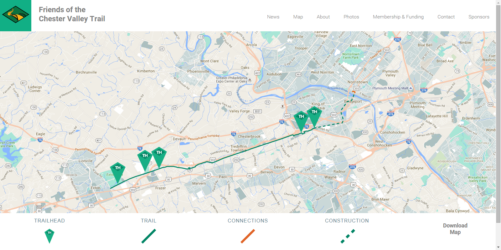
The majority of design decisions were derived from meeting with leaders of the Friends organization. The number one constraint to be worked around was expertise and sustainability surrounding updates on the website. This lead me to using WordPress as the CMS for the website. WordPress provided all of the technical functionality I needed to fulfill their goals while providing them with a simple platform to make updates on. The trail map was the most worked on feature on the site, because it held a lot of immediate impact for potential trail users. All users are curious about the map of the trail and where they can access it for use but not everyone is interested in the news or events. A map key was provided along with Google Maps integration and a downloadable version is also available for printed use.
Responsibilities
- Responsive web design
- Wordpress CMS development
- PHP development
- Page layout
- Icon design
- Wireframes
- Information architecture
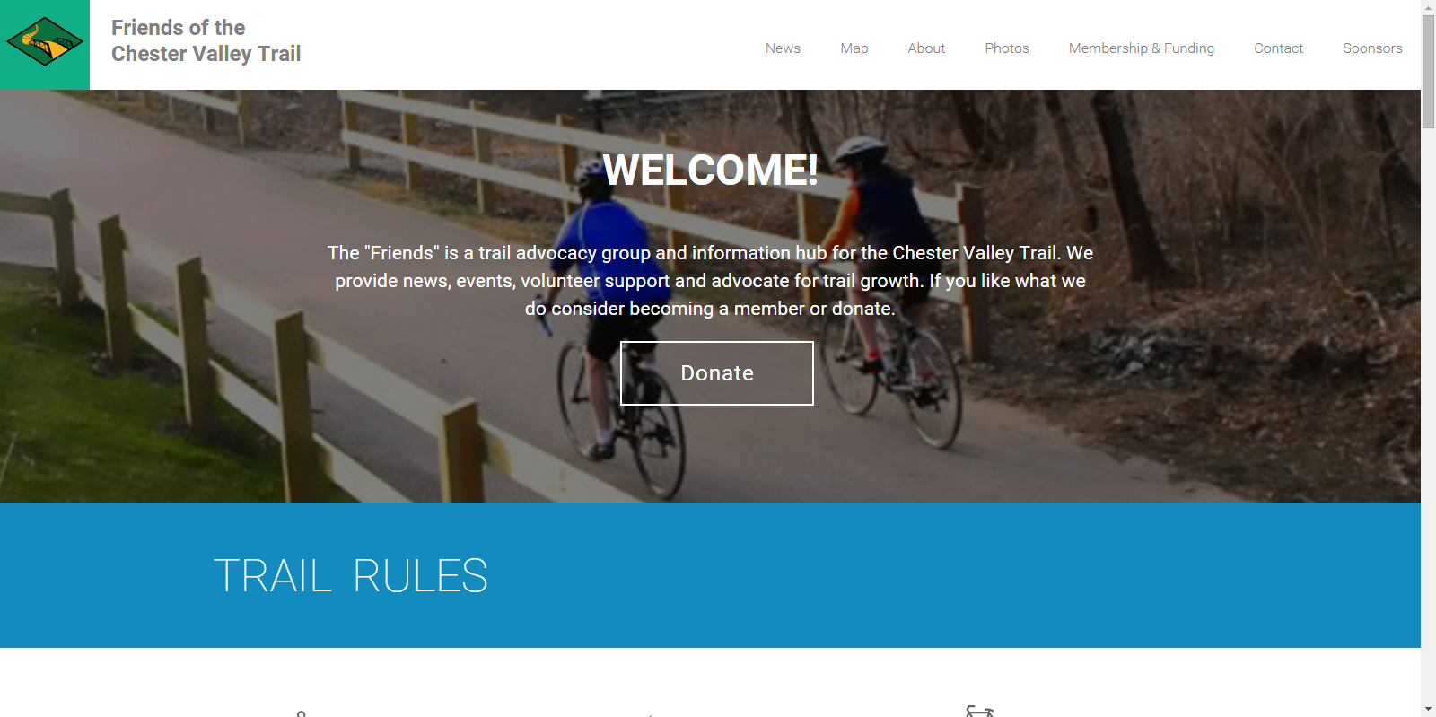
Landing Page
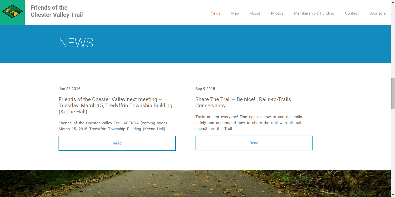
News Page
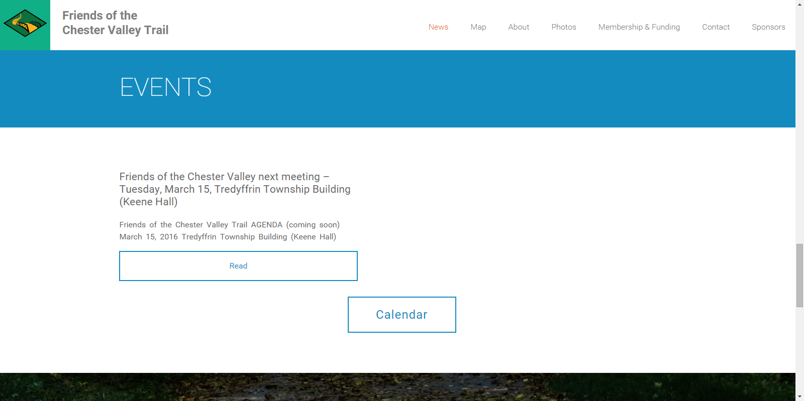
Events Page
Trail Map
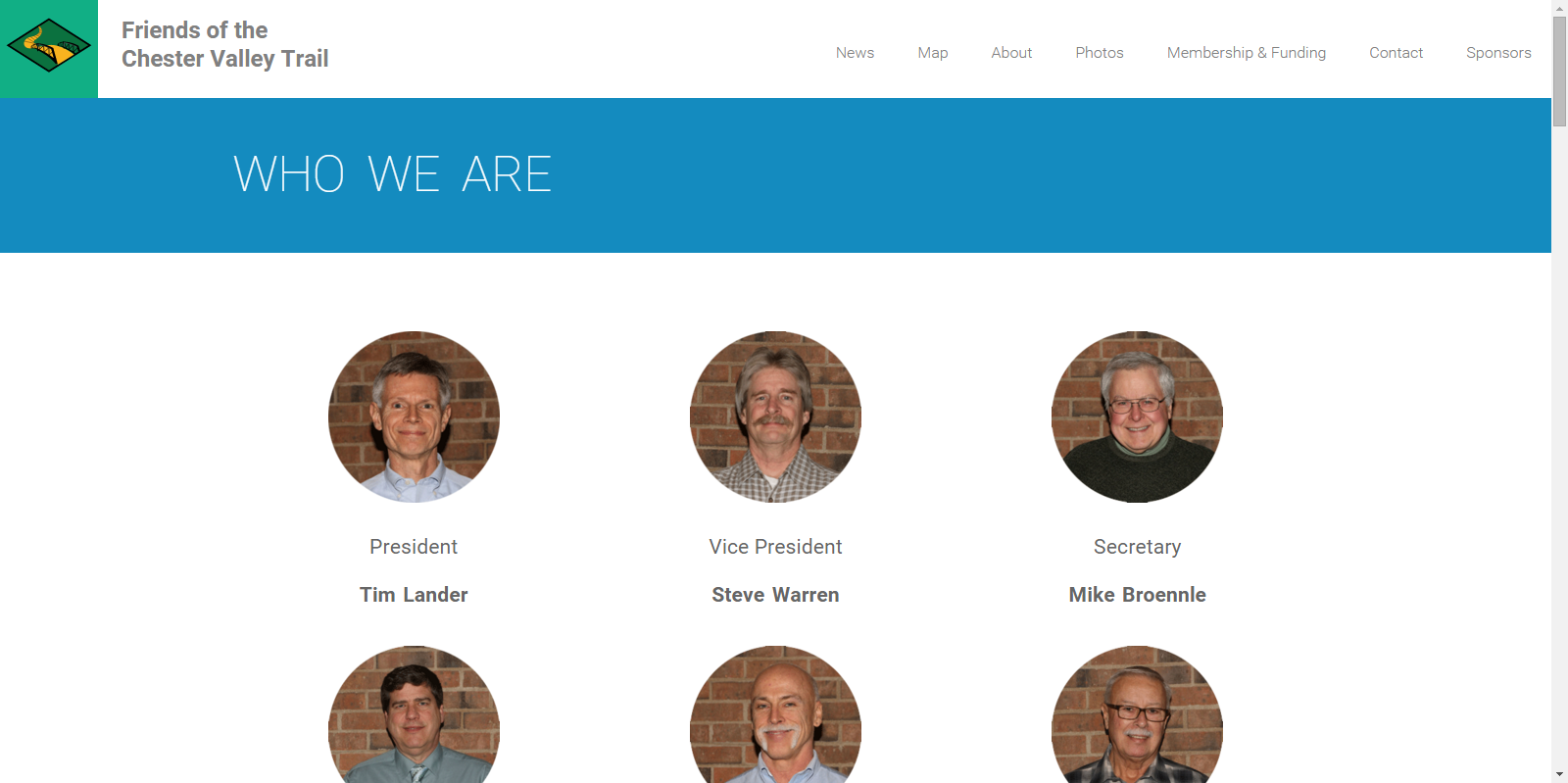
Committee Page
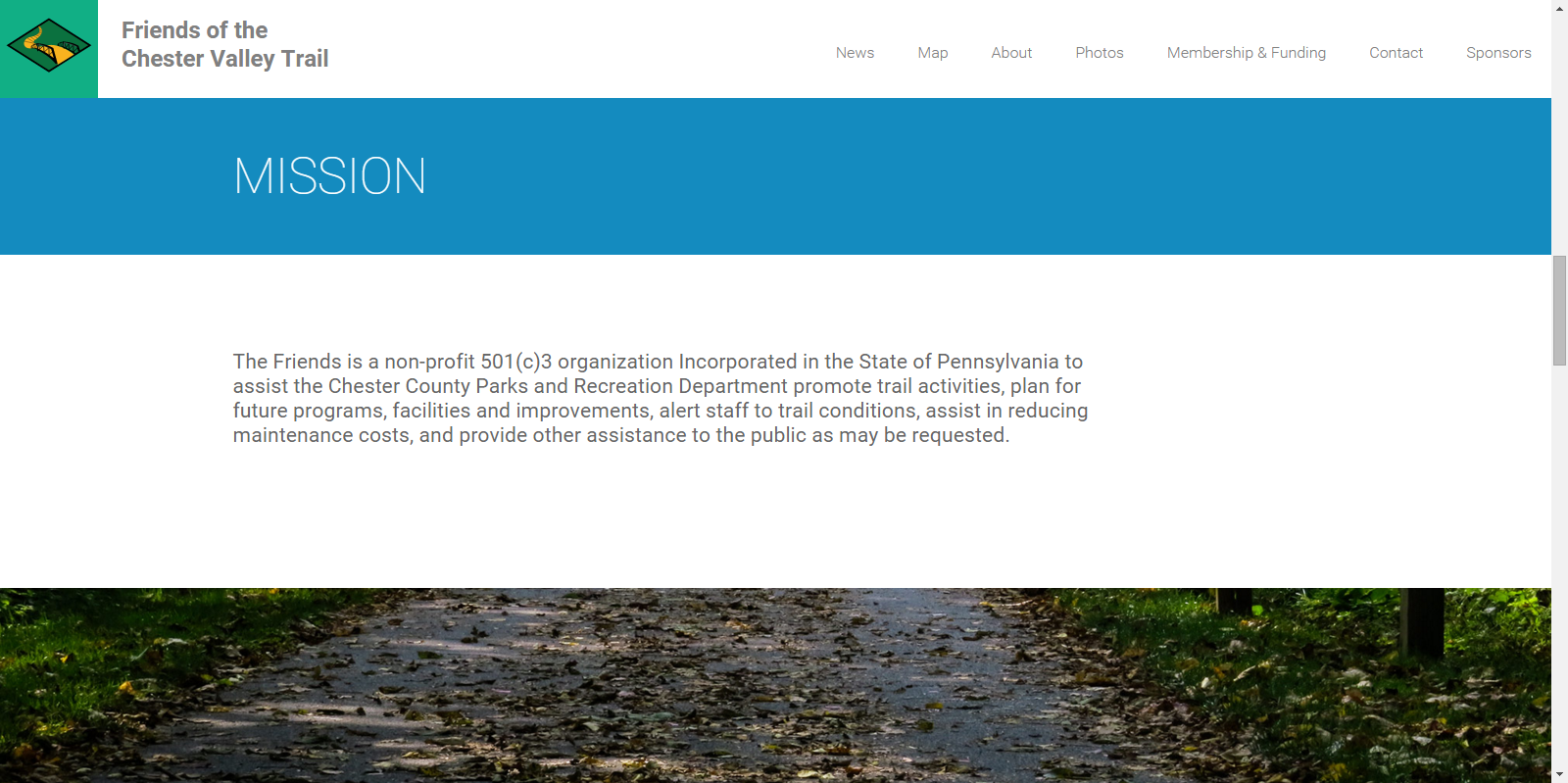
Mission Page
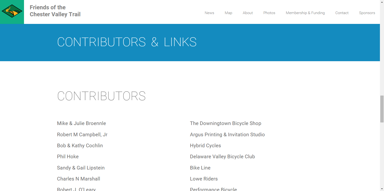
Contributors and Sponsors Page